


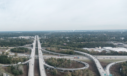


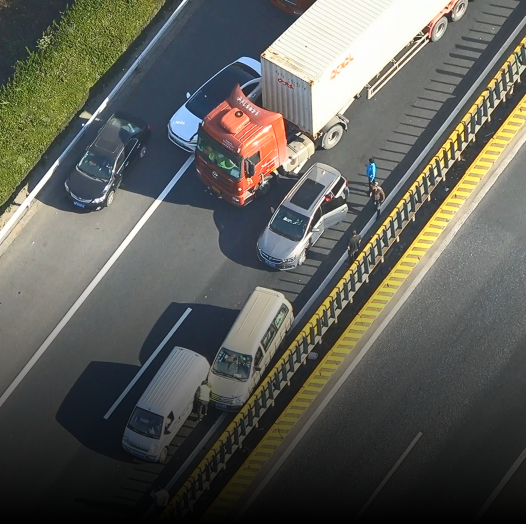


For large-area traffic management scenarios, traditional inspections are labor-intensive, slow, and unable to provide timely response or accurate evidence collection. Patrol efficiency is low, risks are high, and blind spots remain unmanaged. Using UAVs to monitor key areas such as “two stations and one yard” and expressways enables automated patrols and real-time traffic incident forensics, greatly improving operational efficiency.
For road survey and planning, drones replace manual GPS-based data collection with high-precision 3D modeling and orthophoto generation, providing accurate data for project design and implementation.
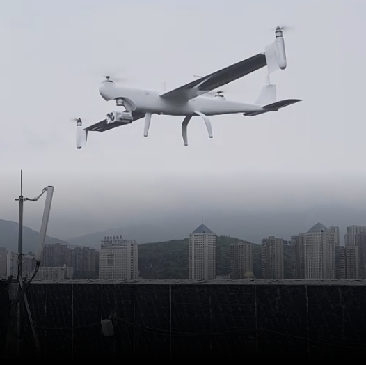
UAVs ready in 3 minutes for immediate operation.
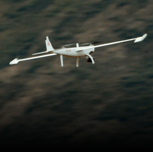
VTOL drones with 126-minute flight time, hot-swappable batteries.
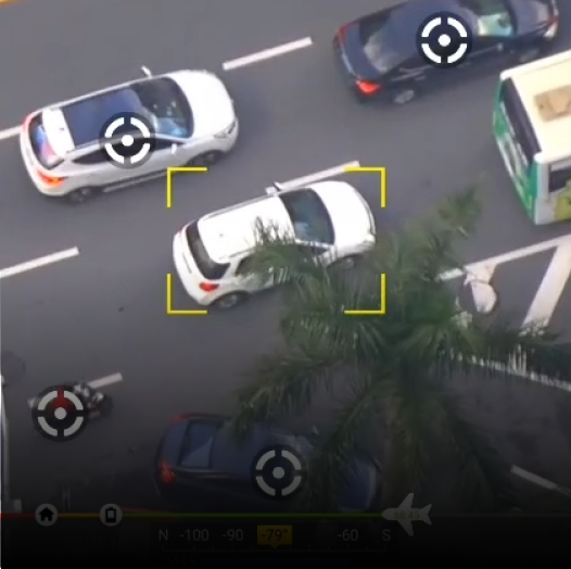
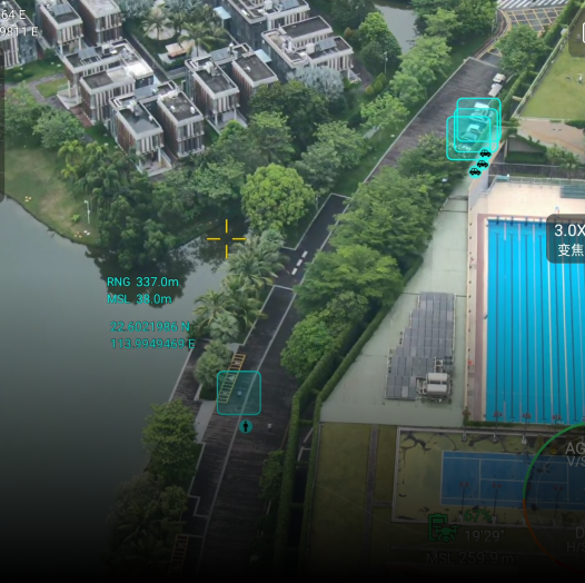
Detects people, vehicles, ships automatically via AI algorithms.
Up to 108 km/h, enabling fast response and tracking.
35× optical zoom, 45mm thermal lens, laser ranging for clear, long-distance visuals.
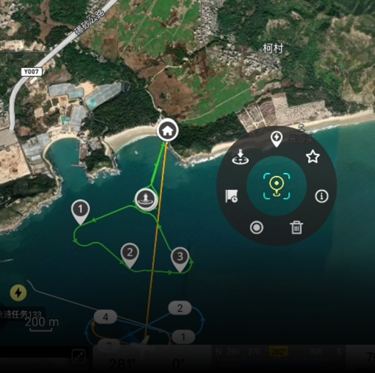
Mark and monitor suspicious zones for efficient enforcement.
RTMP-based real-time video feed to command center.
Real-time location info during flight.
Supports map matching in areas without internet access.
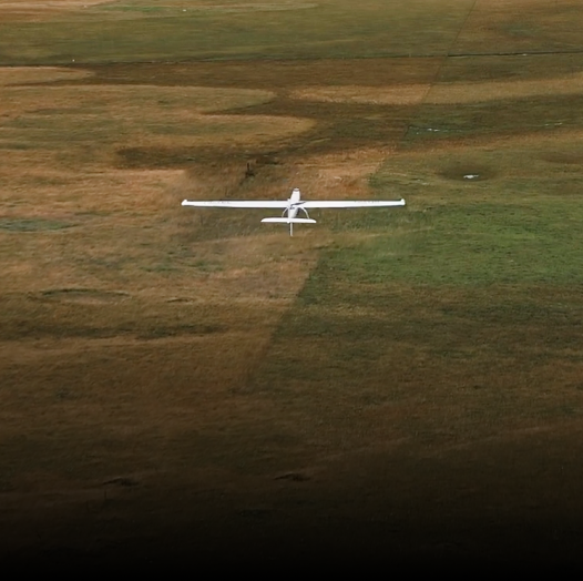
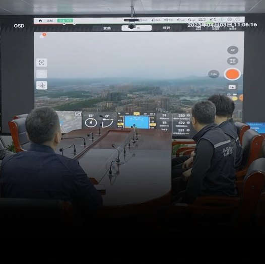
In traffic patrol missions, the Dragonfish UAV is used for vertical takeoff, precise positioning, and high-altitude evidence collection. It supports real-time coordination with traffic command centers and enables fast, data-driven decision-making.
The use of dragonfish UAV can achieve high-altitude operation vertical takeoff and landing, accurate monitoring
Conduct high-altitude evidence collection for traffic violations in real time, and cooperate with the traffic command center for real-time monitoring
Timely data analysis, quick response
Contact us now to find out more about the Autel Alpha